BIM
Collect accurate information of your assets for Building Information Modeling (BIM) processes with efficient and precise data capture.
Painpoints
Advantages
Absence of visualized 3D Models for design-reality comparison.
Generate accurate 3D Models of the site for visual design-reality comparison.
Time and cost inefficiencies with ground solutions.
Elevated efficiency with simple data collection workflow.
Solution
Portable Drone Surveying & Mapping Solution
The DJI Mavic 3E is a portable mapping drone suitable for single-pilot operations. Paired with DJI Terra, it can generate accurate 2D and 3D models with significant reduction on the ground control points.
Portable solution, easy to operate and to carry across multiple construction sites.
One-tap High-Quality 3D Mapping.
Centimeter-level data thanks to its mechanical shutter and RTK capability.
Obtain multiple data outputs such as 3D Models, DSM, DEM, and Point Clouds for efficient earthwork monitoring.
Drone Platform
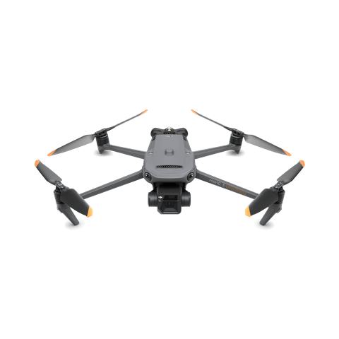
DJI Mavic 3E
... Open
Weight: 915 g.
Max Flight Time (no wind): 45 mins.
Sensing type: Omnidirectional binocular vision system, supplemented with an infrared sensor at the bottom of the aircraft.
Environment Adaptability: Max Take-off Altitude Above Sea Level 6,000 m; Max Wind Speed Resistance 12 m/s.
Wide Camera: 4/3 CMOS, Effective pixels: 20 MP.
Mechanical Shutter: 8-1/2000 s, supports rapid 0.7-second interval shooting.
Compatible with RTK module and DJI Cellular module.


Workflow
- Data Collection: Customized Flight Mission Planning for diverse building structures.
- Data Processing: Data processing in DJI Terra for high-quality 3D models. Import to DJI Modify for model editing and refinement.
- Data Analysis: Effortless export and sharing of 3D Models for BIM analysis.