Facade High Wall
Reduce mine risk and enhance operations with frequent and accurate facade high wall modeling.
Painpoints
Advantages
Traditional high wall surveying methods often exposes personnel to potential risks.
Reduce risk with safer data collection methods without compromising quality.
Time-consuming and inefficient, especially across large mining sites.
Optimize field work and enhance operations with efficient aerial survey solutions.
Lack of high-precision and high-resolution data of the high walls.
Produce geotagged high quality models for improved decision making.
Solution
Portable Drone Stockpike Measurement Solution
The DJI Mavic 3E is a portable surveying and mapping drone suitable for single-pilot operations. Paired with DJI Terra, it can generate accurate 2D and 3D models with significant reduction on the ground control points.
The Mavic 3E's compact size and user-friendly design facilitate rapid setup, mission planning, and pack-up, making it highly suitable for last-minute or urgent survey requirements in a busy operational environment.
Reliability and high accuracy even when flying at high altitudes.
The Real-Time Terrain Follow mode allows the Mavic 3E to adjust its altitude in real time, ensuring a consistent height relative to the terrain being mapped.
Drone Platform
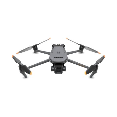
DJI Mavic 3E
... Open
Weight: 915 g.
Max Flight Time (no wind): 45 mins.
Sensing type: Omnidirectional binocular vision system, supplemented with an infrared sensor at the bottom of the aircraft.
Environment Adaptability: Max Take-off Altitude Above Sea Level 6,000 m; Max Wind Speed Resistance 12 m/s.
Wide Camera: 4/3 CMOS, Effective pixels: 20 MP.
Mechanical Shutter: 8-1/2000 s, supports rapid 0.7-second interval shooting.
Compatible with RTK module and DJI Cellular module.


Workflow
- Data Collection: Plan a 2D, Smart Oblique or Slope Route map mission for Facade High Wall Mapping.
- Data Processing: Import the collected data into DJI Terra to generate DOM, DSM, Point Clouds and 3D models.
- Data analysis: Import resulting DOM, DSM or 3D models into your preferred 3rd Party software for further analysis.