Heritage Preservation
Create accurate digital reconstructions of historical sites to optimize research and preservation efforts.
Painpoints
Advantages
Absence of Visualized 3D Models for Protective References and Historical Records.
Generate accurate 2D and 3D models of the historical to properly plan conservation efforts and research purposes.
Time-Intensive Ground Measurements and Elevated Personnel Risks.
Optimize on-site collection methods with drone-based data capture.
Solution
Portable Drone Surveying & Mapping Solution
The DJI Mavic 3E is a portable surveying and mapping drone suitable for single-pilot operations. Paired with DJI Terra and DJI Modify, it can generate accurate and realistic digital models of historical sites to plan conservation efforts and support research projects.
Portable solution, easy to operate and to carry across multiple construction sites.
Centimiter level data thanks to its mechanical shutter and RTK capability.
One-tap High-Quality 3D Mapping.
Drone Platform
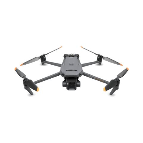
DJI Mavic 3E
... Open
Weight: 915 g.
Max Flight Time (no wind): 45 mins.
Sensing type: Omnidirectional binocular vision system, supplemented with an infrared sensor at the bottom of the aircraft.
Environment Adaptability: Max Take-off Altitude Above Sea Level 6,000 m; Max Wind Speed Resistance 12 m/s.
Wide Camera: 4/3 CMOS, Effective pixels: 20 MP.
Mechanical Shutter: 8-1/2000 s, supports rapid 0.7-second interval shooting.
Compatible with RTK module and DJI Cellular module.


Workflow
- Data Collection: Tailored Waypoint Flight Missions to building structures.
- Data Processing: Utilize DJI Terra for data processing and high-quality 3D Models .Import to DJI Modify for model editing and refinement.
- Data Analysis: Export and share 3D Models for digitized measurements.