Photovoltaic Power Plant
Drones can precisely identify and locate defects in solar farms by utilizing high-definition visible light and thermal imaging. This facilitates early fault detection and preventive maintenance, thereby improving the quality and efficiency of photovoltaic power stations.
Painpoints
Advantages
The scale of photovoltaic projects is expanding rapidly, making it challenging to allocate operation and maintenance personnel promptly.
Deploy resources more efficiently and minimize personnel risk by reducing time spent in the field and pinpointing faulty components with accuracy.
The process of collecting and analyzing data from solar inspections can be laborious and complex.
Integrate drone data collection with advanced detection algorithms to streamline fault identification and enhance inspection efficiency.
The efficiency of photovoltaic panels can be significantly affected and diminished by exposure to factors such as dust, dirt, or other contaminants.
Merge visual and thermal data to accurately assess the condition of components and make well-informed maintenance decisions.
Solution
Automated Solar Farm Inspection
High Performance Inspection
Portable Thermal Inspection Solution
Multipurpose Drone Inspection
Automated Solar Farm Inspection
The DJI Dock 3 enables you to automate recurring inspection tasks with ease. Schedule an inspection task, and the DJI Dock 3 will automatically collect the data and upload the findings to the DJI FlightHub 2 cloud platform for comprehensive analysis and processing.
The device is lightweight and portable, facilitating easy installation.
Suitable for full project cycle applications, ranging from construction management to inspection tasks.
Boasts an IP56 rating, making it resilient in harsh environments.
An operating radius of 10 km enables extensive coverage of large solar farm areas.
The cloud API facilitates the transfer of collected data to third-party software.
Drone Platform

DJI Matrice 4D
... Open
Weight: 1850 g
Max Flight Time: 54 minutes
Environment Adaptability: IP55 rating, max takeoff altitude 6500 m, max wind speed resistance 12 m/s
Sensing System: Omnidirectional binocular vision system, supplemented with a 3D infrared sensor at the bottom of the aircraft
Mechanical Shutter Speed: 2-1/2000 s, minimum photo interval 0.5 s
Wide-Angle Camera: 4/3-inch CMOS, 20MP effective pixels
Medium Tele Camera: 1/1.3-inch CMOS, 48MP effective pixels
Telephoto Camera: 1/1.5-inch CMOS, 48MP effective pixels
Laser Rangefinding: 1800m measurement range (1 Hz) @20% reflectivity target
DJI Matrice 4TD
... Open
Weight: 1850 g
Max Flight Time: 54 minutes
Environment Adaptability: IP55 rating, max takeoff altitude 6500 m, max wind speed resistance 12 m/s
Sensing System: Omnidirectional binocular vision system, supplemented with a 3D infrared sensor at the bottom of the aircraft
Wide-Angle Camera: 1/1.3-inch CMOS, 48MP effective pixels
Medium Tele Camera: 1/1.3-inch CMOS, 48MP effective pixels
Telephoto Camera: 1/1.5-inch CMOS, 48MP effective pixels
Infrared Thermal Camera: 1280 × 1024@30fps (UHR Infrared Image function enabled, Night Scene mode not enabled)
Laser Rangefinding: 1800m measurement range (1 Hz) @20% reflectivity target
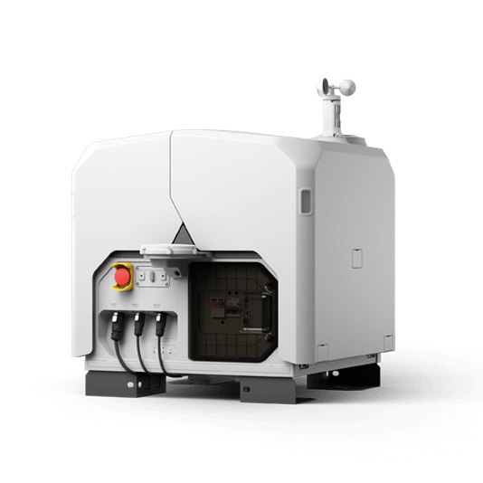
DJI Dock 3
... Open
Weight: 55 kg (without the drone)
Size: 1760×745×485 mm (L×W×H, dock cover opened)
Environment Adaptability: -30° to 50° C (-22° to 122° F) operating temperature, IP56 rating, maximum operating altitude 4500 m
Max Operating Radius: 10 km
Charging Time: 27 minutes
Security Camera (Internal) Resolution: 1920×1080
Size: 1760×745×485 mm (L×W×H, dock cover opened)
Environment Adaptability: -30° to 50° C (-22° to 122° F) operating temperature, IP56 rating, maximum operating altitude 4500 m
Max Operating Radius: 10 km
Charging Time: 27 minutes
Security Camera (Internal) Resolution: 1920×1080
Payload And Software

Workflow
- Mission Planning:
- Use DJI FlightHub 2 to plan inspection flight routes based on high-definition 3D model of the solar farm. - Data Collection:
- Using DJI FlightHub 2, select the preferred dock and scheduled inspection mission.
- The Matrice 4TD will execute the inspection tasks according to the plan, and uploads the captured data to DJI FlightHub 2. - Data Analysis:
- Analyze the images to detect faulty elements or required maintenance work by using the DJI Thermal Analysis Tool. Transfer the collected data to a third-party software to use automated detection algorithms.
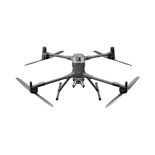
High Performance Inspection
The DJI Matrice 30 Series delivers a potent combination of portability and performance, boasting an extended flight range of up to 15 km and ingress protection to endure severe weather conditions. It enables precise detection of solar panel defects, sediment buildup, or damage through its high-resolution visual and thermal (M30T) sensors. The series also supports dual-control operations and incorporates intelligent inspection capabilities.
The drone's foldable and compact design ensures easy transportation.
Achieves rapid deployment, operational within just 2 minutes.
Offers an extended transmission range of up to 15 km.
Provides cost-effective solutions with an integrated infrared camera.
Equipped with a laser rangefinder to accurately locate and provide coordinates for defective components within solar farms.
Drone Platform
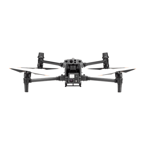
Matrice 30 Series
... Open
Weight (incl. two batteries): 3770 ± 10 g.
Max Flight Time: 41 min.
Sensing system: Six-directional sensing and positioning.
Environment Adaptability: Max Service Ceiling Above Sea Level (without other payload) 7,000 m (with 1676 propellers); Max Wind Resistance 12 m/s.
Zoom camera: 1/2-inch CMOS, Effective pixels: 48MP.
Max Flight Time: 41 min.
Sensing system: Six-directional sensing and positioning.
Environment Adaptability: Max Service Ceiling Above Sea Level (without other payload) 7,000 m (with 1676 propellers); Max Wind Resistance 12 m/s.
Zoom camera: 1/2-inch CMOS, Effective pixels: 48MP.
Payload And Software

DJI Pilot 2
... Open
Ground control
DJI Thermal Analysis Tool 3
... Open
By identifying the temperature information of critical areas of the target, the software can be used to analyze objects across many industrial applications.

Third-Party Software
Workflow
- Mission Planning:
- Plan the drone flight routes throughout the solar farm or the area to be inspected using the DJI Pilot 2 app. - Data Collection:
- Upon arrival at the takeoff point, deploy the drone and initiate the previously saved inspection mission. The drone will automatically follow the flight route. - Data Analysis:
- Analyze the images to identify faulty elements or required maintenance work by using the DJI Thermal Analysis Tool. Transfer the data to a third-party software to identify faults using automated dectection algorithms.
Portable Thermal Inspection Solution
The DJI Matrice 4T, a compact and portable drone, comes equipped with high-performance visible and thermal imaging cameras, making it ideal for comprehensive solar panel inspections in both industrial and residential settings.
Compact and lightweight, facilitating easy transportation and handling.
Features both visual and infrared imaging cameras for enhanced inspections.
Supports fully automated and sophisticated inspection routes, allowing the drone to systematically capture data along a predefined path.
Drone Platform
DJI Matrice 4T
... Open
Weight: 1219 g (with propellers)
Max Flight Time (without wind): 49 minutes
Environment Adaptability: Max takeoff altitude 6000 m, max wind speed resistance 12 m/s
Sensing System: Omnidirectional binocular vision system, supplemented with a 3D infrared sensor at the bottom of the aircraft
Wide-Angle Camera: 1/1.3-inch CMOS, 48MP effective pixels (Matrice 4T)
Medium Tele Camera: 1/1.3-inch CMOS, 48MP effective pixels
Telephoto Camera: 1/1.5-inch CMOS, 48MP effective pixels
Infrared Thermal Camera: 1280 × 1024@30fps (Super Resolution enabled, Night Mode not activated)
Laser Rangefinding: 1800m measurement range (1 Hz) @20% reflectivity target
Payload And Software
DJI Pilot 2
... Open
Ground control
DJI Thermal Analysis Tool 3
... Open
By identifying the temperature information of critical areas of the target, the software can be used to analyze objects across many industrial applications.
Third-Party Software
Workflow
- Mission Planning:
- Plan the drone flight routes throughout the solar farm or the area to be inspected using the DJI Pilot 2 app. - Data Collection:
- Upon arrival at the takeoff point, deploy the drone and initiate the previously saved inspection mission. The drone will automatically follow the flight route. - Data Analysis:
- Analyze the images to identify faulty elements or required maintenance work by using the DJI Thermal Analysis Tool. Transfer the data to a third-party software to identify faults using automated dectection algorithms.
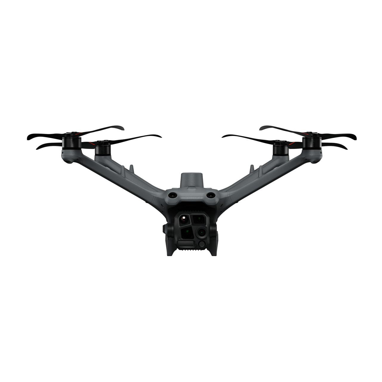
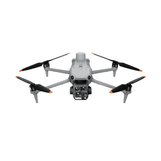
Multipurpose Drone Inspection
The DJI Matrice 400 is a versatile platform with interchangeable payloads tailored to meet the specific needs of each task. Whether it's mapping or inspection, the Matrice 400 provides comprehensive operational capabilities for large-scale solar farms at various project stages.
With its array of payloads, the drone delivers operational efficiency and superior inspection capabilities.
The H30T's advanced thermal sensor (1280 × 1024) elevates inspection efficiency and quality.
A faster shutter speed leads to reduced inspection durations and expanded coverage.
Dual-Control feature to enhance reliability and ensure operational safety.
Drone Platform
DJI Matrice 400
... Open
Weight: 9740±40 g (with batteries)
Max Takeoff Weight: 15.8 kg
Max Payload: 6 kg
Max Flight Time: 59 minutes
Max Horizontal Speed: 25 m/s
Sensing System: Omnidirectional binocular vision system (surround view provided by full-color fisheye vision sensors), horizontal rotating LiDAR, upper LiDAR, downward 3D infrared range sensor, and six-direction mmWave radar
Environment Adaptability: IP55 rating, max takeoff altitude 7000 m, operating temperature -20° to 50° C (-4° to 122° F)
Compatible with the Zenmuse H30 Series, Zenmuse L2, Zenmuse P1, Zenmuse V1, Zenmuse S1, and third-party payloads.
Payload And Software
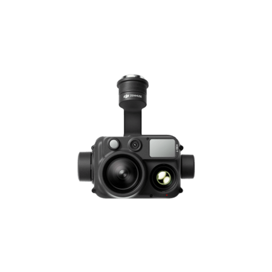
Zenmuse H30T
... Open
Wide-Angle RGB Camera: 1/1.3-inch CMOS, 48MP effective pixels
Zoom RGB Camera: 1/1.8-inch CMOS, 40MP effective pixels, 34× hybrid optical zoom
Infrared Thermal Camera: 1280×1024@30fps
NIR Auxiliary Light Illumination Range: Approx. 8m diameter circle@100 m
Laser Range Finder: Max measurement range 3000 m
Zoom RGB Camera: 1/1.8-inch CMOS, 40MP effective pixels, 34× hybrid optical zoom
Infrared Thermal Camera: 1280×1024@30fps
NIR Auxiliary Light Illumination Range: Approx. 8m diameter circle@100 m
Laser Range Finder: Max measurement range 3000 m
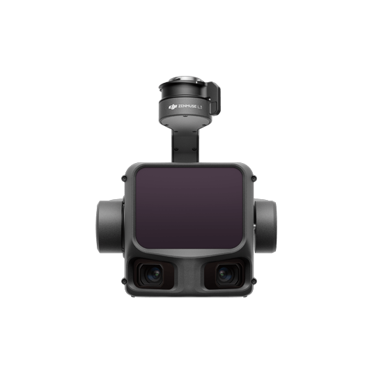
Zenmuse L3
... Open
Maximum Detection Range: 950 m (center), 650 m (edge)@10% reflectivity
Dual 4/3 CMOS RGB Mapping Cameras: Support 100MP or 25MP resolution
Vertical Accuracy: 3 cm, Horizontal Accuracy: 4 cm (at 120 m)
Vertical Accuracy: 5 cm, Horizontal Accuracy: 7.5 cm (at 300 m)
Single-flight coverage area up to 10 km² at an operational altitude of 300 m (nadir)
Dual 4/3 CMOS RGB Mapping Cameras: Support 100MP or 25MP resolution
Vertical Accuracy: 3 cm, Horizontal Accuracy: 4 cm (at 120 m)
Vertical Accuracy: 5 cm, Horizontal Accuracy: 7.5 cm (at 300 m)
Single-flight coverage area up to 10 km² at an operational altitude of 300 m (nadir)

Workflow
- Thermal Inspection Mission:
- Using the Matrice 400 equipped with the Zenmuse H30T payload, manually fly to capture thermal readings of the key components of the solar farm. Use the Live Mission Recording feature to easily repeat the same missions in the future. - Data Analysis:
- Analyze the inspection photos manually or use model detection to identify defects in the transmission corridor.