

2026
World Heritage
3D Conservation Initiative
See Heritage. Share Heritage.
July - November 2026
About the Initiative
From wonders carved by nature's hand to monuments of old, our world's heritage is a beauty meant to last. Yet, left to the winds of time, even the grandest stone must face deterioration. Now, with DJI Enterprise's integrated aerial surveying and mapping solutions, you can build a digital archive that outlives the elements. Transform 3D models into immersive flythroughs using DJI Reality, and become the keeper of our shared history. What time erodes, you immortalize.
Categories
Explore the natural beauty and marks of civilization around you.
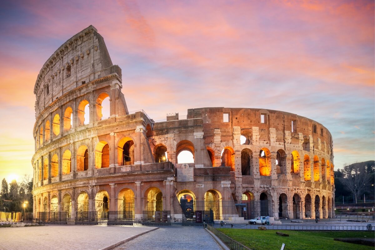
Cultural Heritage
Alongside world-renowned monuments and architectural complexes, places like old villages, urban landmarks, and industrial heritage carry their own historical, artistic, or scientific value. Imbued with human wisdom and cultural depth, these sites represent irreplaceable memories.
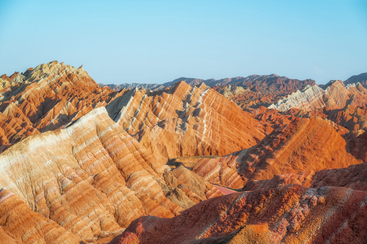
Natural Heritage
From majestic peaks and renowned wonders to the familiar mountains, lakes, or forests of your hometown. Whether valued for ecological conservation, geological science, or pure aesthetics, any landscape or habitat that embodies the vitality of nature is worth capturing and safeguarding.
Flythrough Video Examples
With DJI Reality, you can generate flythrough videos from mesh, 3D Gaussian Splatting, or point cloud data, as shown below. Beyond basic flythroughs, you are encouraged to elevate your creations by incorporating real-world shots, behind-the-scenes clips, and background music.
Romanesque Architecture: Limburg Cathedral
Mesh Model
Suzhou Classical Gardens: Lion Grove Garden
3D Gaussian Splatting (3DGS)
Karst Landform: Leye Tiankeng Group
Point Cloud
Timeline
Prizes
Excellence in Cultural Heritage Award
Excellence in Natural Heritage Award
People's Choice Award
Expert Panel
* Listed in no particular order
Brian Barrett
Professor of Environmental Remote Sensing and Director of Graduate Studies at the School of Geographical & Earth Sciences, University of Glasgow. Former head of the Earth Systems Research Group, his research focuses on terrestrial environmental remote sensing, multi-source satellite data fusion, land use modelling, and ecological monitoring. He has led multiple UK and European national research projects, maintains international collaborations with China, Colombia, and Vietnam.
Li Zhe
Professor and Doctoral Supervisor at the School of Architecture, Tianjin University. He serves as Director of the Great Wall Research Center at Tianjin University and Deputy Director of the Key Laboratory of Information Technology for Architectural Cultural Heritage Transmission at the Ministry of Culture and Tourism. As a Chief Scientist for National Social Science projects, he holds roles in the Chinese Association of National Architecture, ICOMOS China Digital Heritage Committee, and the Cultural Heritage Protection Committee of the CSGPC.
Pete Kelsey
One of the world leading experts in heritage documentation through reality capture, with projects spanning remote and historically significant sites globally. Notable work includes the 2007 laser scanning of Easter Island Moai (featured in Fortune magazine), the 2014 first-ever multi-sensor survey-grade 3D model of the USS Arizona at Pearl Harbor, and the 2023 Alcatraz project (featured in The New York Times).
Jonathan S. Bell
Dr. Jonathan S. Bell is Senior Vice President for Global Preservation Strategy and Founding Director of the Suzanne Deal Booth Institute for Heritage Preservation at World Monuments Fund, where he shapes the project portfolio and guides thought leadership. He serves on multiple international professional scientific committees, sits on editorial boards for two academic journals and is Adjunct Faculty at Columbia University. He holds a BA from Harvard University, a DEA from the Sorbonne in France, an MSc in Historic Preservation from Columbia University and a PhD in Urban Planning from UCLA.
Ji Zheng
Ph.D. in Engineering and Associate Professor at Wuhan University. Focusing on photogrammetry and UAV remote sensing, he leads multiple national projects. He has published 30+ papers, holds 11 patents and 5 software copyrights, and co-drafted the "Close-range Photogrammetry" standard. He won the Surveying and Mapping Technology Progress Award, guided students to national awards, and judged the 2021 Close-range Photogrammetry Competition.
Michal Gula
CEO of 2DIAMR, a reality capture specialist, entrepreneur, and a prominent voice in the global 3D industry. As co-founder of the 3DISE Conference and host of the "2D Is Against My Religion" podcast, he connects technology vendors with professionals across laser scanning, photogrammetry and digital twins, continuously driving the development of the spatial industry.
Zhang Hongyan
Works at the China Digital Culture Group under the Ministry of Culture and Tourism and serves as a member of the Cultural Committee of the CDNCA Beijing Municipal Committee. Deeply engaged in cultural digitization, he is a pioneer in China combining real-world data capture with cultural heritage and natural ecological preservation, with years of hands-on experience in the cultural tourism digitization industry.
Liu Dawei
Senior Reporter and Deputy Director of the Guangdong Center of Xinhua News Agency News and Information Center, and Vice Chairman of the Guangdong Photojournalism Society. He has won multiple domestic and international photojournalism awards, including the China News Award. He has been honored as an Outstanding Journalist of Guangdong Province, received the Jinqiang Award (the highest award in Guangdong press), and was named one of Guangdong Top Ten Photographers.
Recommended Workflow
Explore DJI's Integrated Hardware & Software Solutions
A Complete Workflow From Data Acquisition to 3D Reconstruction
Powered by DJI drone platforms and software like DJI Reality, we provide an end-to-end solution covering mission planning, data acquisition, 3D modeling, and application. It supports mesh models, 3D Gaussian Splatting, and point clouds.
Start Creating With DJI Reality
DJI Reality
DJI Reality allows you to transform models into immersive flythrough videos and enables efficient 3D model viewing. Available at no license cost, it works with DJI Terra to move smoothly from reconstruction to model browsing and sharing.
Follow Us
Follow DJI Enterprise to get the latest event updates, featured showcases, and winner announcements.
How to Participate
Share and engage on social media
Share your video on social media. The top four videos with the highest overall engagement will receive the People's Choice Award and exclusive prizes.
Creative Recommendations
The most compelling videos tell a story. In addition to effectively showcasing your 3D model, you are encouraged to add before/after comparisons, behind-the-scenes workflow footage, shots of your drone at the actual surveying site, and background music. Creativity counts just as much as technical quality.
Format Requirements
Submitted videos must be MP4 files containing footage generated using the DJI Reality software, based on a 3D model of the heritage subject. The recommended resolution is 4K at 60fps, with a duration ranging from 30 to 300 seconds.
Originality & Authenticity
Participants must ensure the authenticity of their information and the originality of their work. Submitting false information or using AI tools to fabricate or alter 3D models or video content is strictly prohibited and will result in the loss of participation eligibility.
Legal Compliance
Participants are solely responsible for ensuring that their drone flights comply strictly with the laws and regulations of the country/region where the filming takes place. Furthermore, participants must ensure that their submitted works do not infringe upon the legal rights of any third party.
Content Licensing
By participating in this event, you agree that DJI may display, distribute, and use your work worldwide on a perpetual, royalty-free basis.